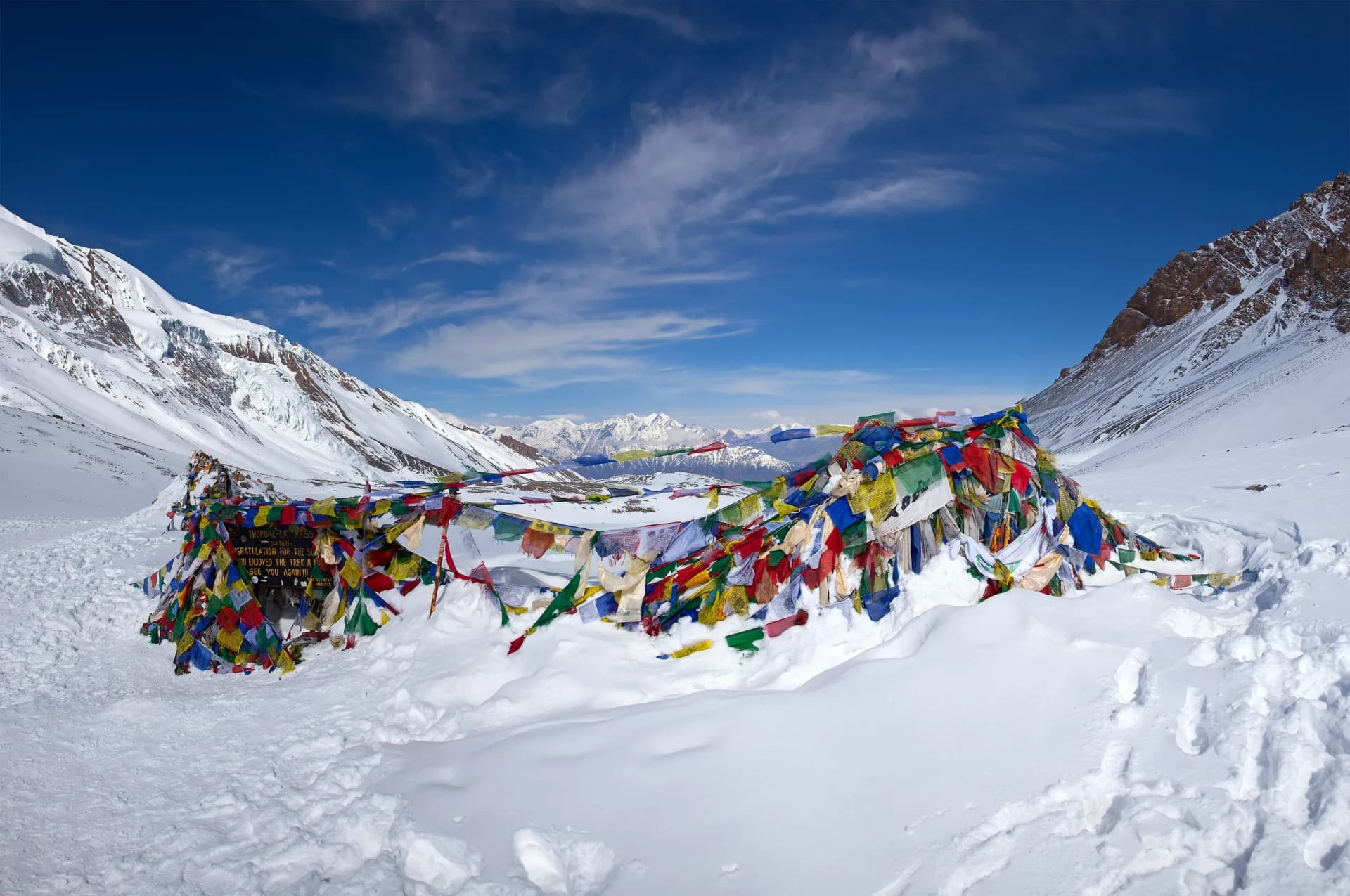
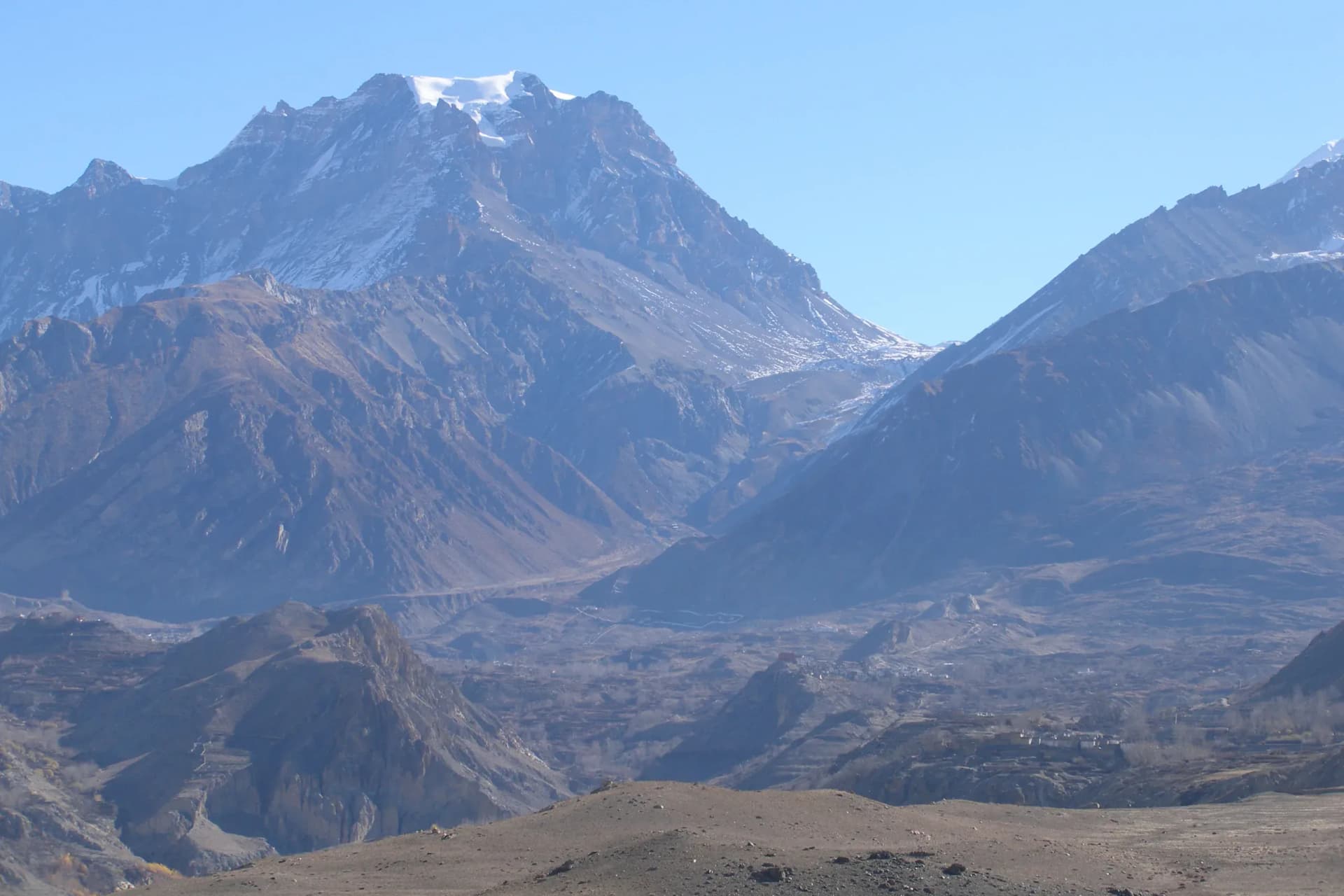
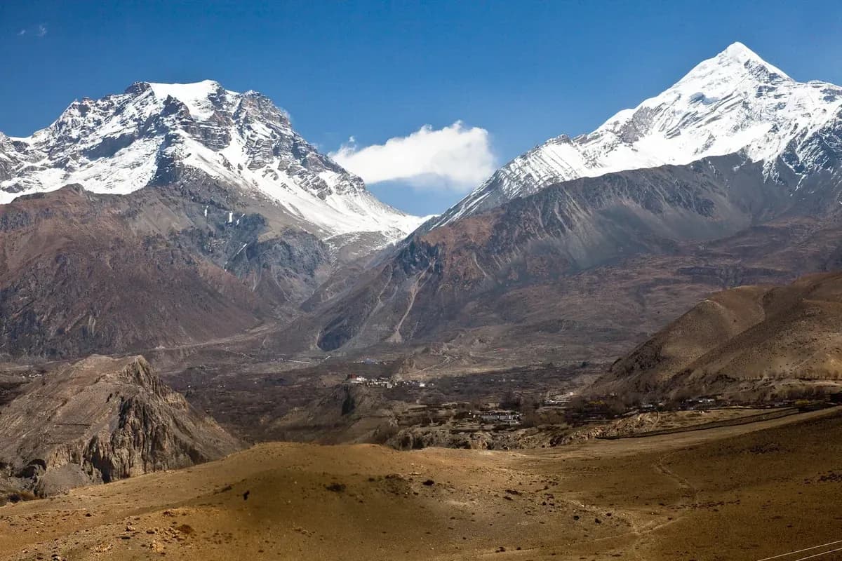
Thorong La Pass is 5,416 metres (about 17,769 feet) high, the high point of the Annapurna Circuit between the Manang approach and the descent towards Muktinath in Mustang. The Nepal Tourism Board's Annapurna Region guide gives that height and describes the circuit's counter-clockwise direction.
From Manang to Muktinath, Love Himalaya Journey's published route stages add up to about 32 km. That is an itinerary estimate with a grouped Phedi or High Camp overnight option. It is not a measured distance for every lodge and trail variant, or a recommendation to complete the approach in three consecutive days.
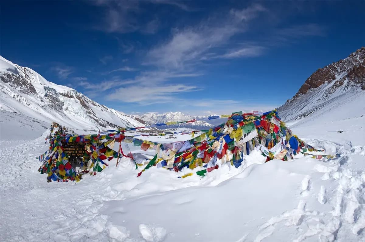
Altitude response, snow, wind, visibility and the usable route can change the plan. Report symptoms to the guide before moving higher. A crossing remains conditional even in a popular trekking season and for a fit trekker.
How high is Thorong La Pass?
The Nepal Tourism Board's Annapurna Region page and Trekking in Nepal booklet give 5,416 m. Converting metres to feet gives approximately 17,769 ft.
There is an official-source discrepancy: NTB's separate Muktinath page gives Thorung La as 5,380 m. This article follows the dedicated Annapurna sources. The Annapurna page and booklet were reopened on 31 October 2026 and still give 5,416 m. The conflicting Muktinath page remained readable. The discrepancy has not been resolved by NTB.
The pass height alone does not describe the day's difficulty. The CDC Yellow Book explains that air pressure falls with altitude, reducing oxygen partial pressure. It also states that physical fitness does not determine susceptibility to altitude illness. Previous success at a similar altitude and ascent rate can inform planning, but cannot guarantee the same response next time.
What route connects Manang and Muktinath?
The usual counter-clockwise sequence is Manang, Yak Kharka, Thorong Phedi, the High Camp area, Thorong La, then Muktinath. Phedi and High Camp are different places; staying higher changes both the approach and the following day's ascent. A list of place names does not establish an appropriate sleeping schedule for an individual.
The LHJ Manang-to-Mustang trek page, checked on 26 October 2026, publishes the following approximate stages. Its second stage groups two possible overnight endpoints, so it does not establish separate distances for each choice.
| Published route stage | Approximate figure | How to interpret it |
|---|---|---|
| Manang to Yak Kharka | 10 km | The approach above Manang. |
| Yak Kharka to the Phedi or High Camp stage | 7 km | A grouped itinerary estimate, not a claim that both lodges are the same distance away. |
| Pass stage to Muktinath | 15 km | The published crossing estimate; the exact starting lodge matters. |
| Manang to Muktinath | About 32 km | The sum of those published estimates, excluding earlier acclimatization walks and later travel. |
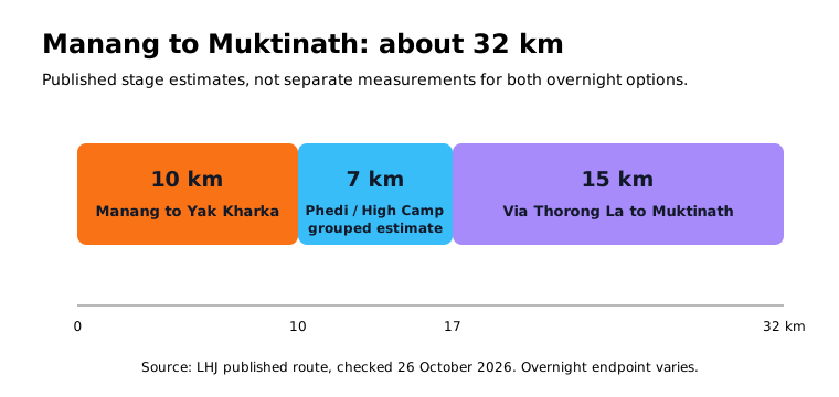
Figure sources: LHJ's route page.
GPS recording, side paths, the exact lodge and the chosen endpoints can change a track's total. Ask for the walking stages and sleeping locations together. A short distance can still involve a large gain in sleeping altitude.
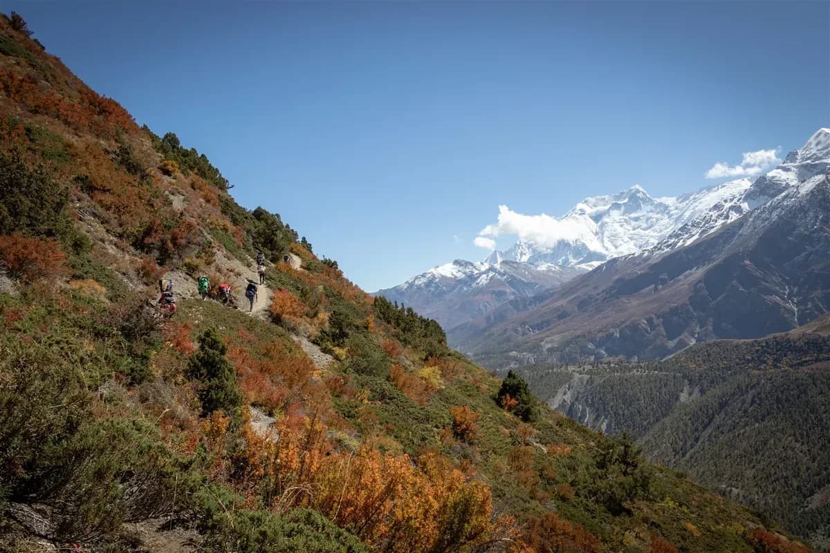
What does the altitude journey look like?
LHJ's published route page gives the following approximate location heights. They are itinerary reference values, not surveyed lodge elevations. The pass is a daytime high point, not a proposed sleeping stop.
| Location | Approximate height above sea level | Planning context |
|---|---|---|
| Manang | 3,540 m | Approach and acclimatization base. |
| Yak Kharka | 4,050 m | Above Manang. |
| Thorong Phedi | 4,525 m | Lower overnight option before the crossing. |
| High Camp | 4,880 m | Higher option; no overnight is promised or recommended here. |
| Thorong La | 5,416 m | Daytime high point. |
| Muktinath | 3,760 m | Mustang-side endpoint used in LHJ's route record. |

Figure sources: LHJ's route page.
Using those reference values, the pass is 1,876 m higher than Manang and 1,656 m higher than Muktinath. These are net endpoint differences, not measured cumulative ascent and descent. High Camp to the pass has a net rise of 536 m; starting lower at Phedi means more ascent before reaching the pass.
Sleeping altitude needs separate attention. The listed Manang-to-Yak Kharka increase is about 510 m, and Yak Kharka-to-High Camp is about 830 m. Those differences explain why this route table cannot be treated as proof that an overnight plan meets acclimatization guidance. Review the whole approach and symptoms with the responsible guide and, where appropriate, a clinician familiar with altitude travel.
Why is the Thorong La crossing difficult?
Altitude, sustained exertion and exposure combine on the approach and descent. The CDC's altitude guidance describes the stresses of reduced air pressure and cold. Snow, ice and poor visibility also affect footing, navigation and the time needed to move safely.
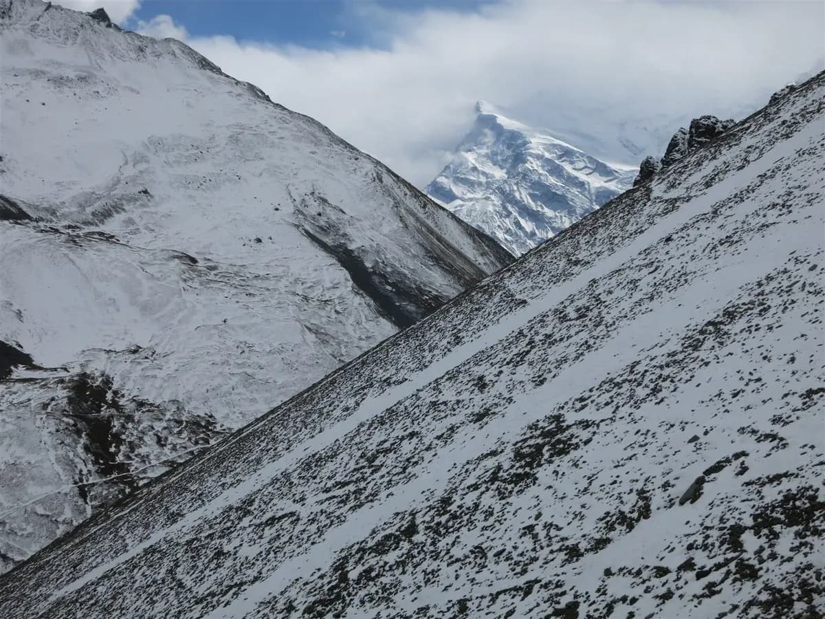
Reaching the prayer flags leaves a substantial descent towards Muktinath. Plan for effort after the pass, including enough time and energy to descend. A single grade such as "moderate" cannot describe each person's acclimatization, the surface underfoot or the conditions on a particular day.
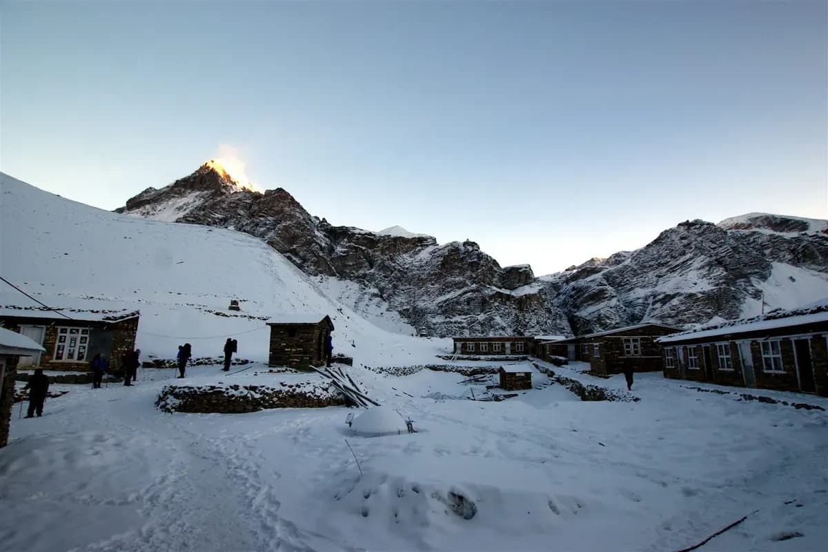
How should acclimatization shape the route?
Acclimatization is the body's adjustment to altitude. It takes time, and the rate of increase in sleeping altitude matters. Daytime high points and the height where you sleep are different planning measures.
| Published guidance | Scope and limitation |
|---|---|
| HRA: after 3,000 m, increase sleeping altitude by no more than 300 to 400 m per day | Nepal's Himalayan Rescue Association gives this conservative schedule guidance. |
| CDC: above 3,000 m, no more than 500 m per day of sleeping-altitude gain, with an extra acclimatization day for each additional 1,000 m | General guidance; individual response can require a slower plan. |
| WMS 2024: above 3,000 m, no more than 500 m per day of sleeping gain and a rest day every three to four days | General prevention guidance, not permission to continue with symptoms. |
Sources: HRA Altitude, CDC Yellow Book 2026, and Wilderness Medical Society 2024 guideline. The numbers differ and should retain their attribution. None certifies an itinerary or removes altitude risk. Earlier rest days do not automatically make a later large sleeping-height gain appropriate.
Where terrain or logistics require larger single-day gains, WMS discusses acclimatization days before and/or after those gains and an overall ascent average below 500 m per day. That exception calls for review of the whole itinerary and individual response. It is not permission to clear yourself for a high overnight stop by calculating an average.
Tell the guide about headache, dizziness, nausea, unusual fatigue or other new symptoms after ascent. Stop ascending while symptoms are assessed; do not attempt the pass with altitude-illness symptoms. The CDC specifically advises against moving to a higher sleeping altitude with symptoms, however minor, and requires descent if symptoms worsen despite rest or treatment at the same elevation.
When should a group continue, wait or descend?
Illness takes priority over route timing. The CDC and WMS guideline support stopping ascent with altitude illness and urgent descent for suspected severe illness in a remote setting.
- Stop and get help for illness. Report symptoms immediately. Confusion, trouble walking steadily, breathlessness at rest or rapid deterioration require urgent medical help and assisted descent as safely feasible. Do not wait for a morning departure or a better pulse-oximeter number. Do not leave an unwell person alone or make them walk down unaided.
- Hold or retreat for unsafe conditions. If the route, wind, snow or visibility makes movement unsafe, stop the crossing attempt. The responsible guide must assess a safe retreat, shelter and help. "Descend" does not mean enter an avalanche path, storm or other hazard. If illness makes descent urgent but movement is impossible, seek emergency assistance and shelter while arranging the safest feasible evacuation.
- Consider continuing only after reassessment. Continue only with no concerning symptoms, a usable route, acceptable conditions, enough time and the responsible guide's agreement. Waiting for a weather report is appropriate only when it does not delay urgent illness care. No checklist guarantees a crossing.
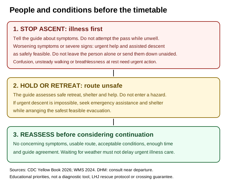
Figure sources: CDC; WMS; DHM.
These are minimum educational recognition and escalation principles. Personal medical conditions and medication decisions need individual clinical advice. A published source does not establish that oxygen, communications, a clinic, helicopter or a particular rescue response will be available on your departure.
What should you check before the pass day?
Check the Nepal Department of Hydrology and Meteorology for current forecasts and warnings, then obtain a current local route report. A broad forecast cannot confirm the state of a specific trail. DHM's live pages could not be retrieved during this article's 26 October check; this page makes no claim that the pass is currently open or safe.
- Review each person's condition before moving higher and agree how symptoms will be reported.
- Confirm the starting lodge, route state and the time needed for the descent.
- Agree who makes the on-trail decision, how to communicate if separated, and what the retreat or shelter options are.
- Check that clothing and equipment match the actual forecast and route, with advice from the responsible guide.
- Recheck changing information close to the crossing and be prepared to cancel the attempt.
There is no universal 4:00 AM rule. Starting earlier changes available daylight, but the useful departure time depends on the lodge, season, forecast, surface and pace. Ask the guide for the reasons behind the plan and the conditions that would change it. For broader seasonal planning, see the best time to trek in Nepal.
Frequently asked questions
Is Thorong La higher than Everest Base Camp?
Thorong La is listed at 5,416 m. The CDC gives Everest Base Camp in Nepal as approximately 5,400 m. Against that rounded figure, Thorong La is slightly higher; the small difference is not a useful difficulty comparison. Ascent rate, sleeping pattern, weather, route length and individual response matter more.
What is special about Thorong La Pass?
Thorong La is the high point of the Annapurna Circuit, connecting the Manang approach with the descent towards Muktinath in Mustang. Reaching the pass still leaves the descent to the next overnight stop.
What is the oxygen level at Thorong La?
Lower air pressure reduces oxygen partial pressure and the oxygen available with each breath. An exact "50 percent oxygen" claim can confuse air pressure with blood oxygen saturation. This article gives no universal oxygen percentage or pulse-oximeter threshold for deciding whether to cross.
How cold is Thorong La Pass?
There is no single temperature that describes every crossing. Season, time of day, cloud, wind and recent weather change exposure. Check the current forecast and local route report; a seasonal temperature average would not establish safe conditions on your day.
Is Thorong La the highest pass in the world?
This article makes no world-record claim. Its supported route fact is that Thorong La is the Annapurna Circuit's 5,416 m high point. Labels such as "highest trekking pass" depend on definitions and are not needed to plan this crossing.
How long does the Thorong La pass day take?
Plan for a substantial mountain day including the descent, with timing specific to the starting lodge, pace and conditions. This article gives no guaranteed duration. Ask the responsible guide for a route-specific estimate and the reasons the day might change or be cancelled.
Plan the approach as well as the crossing
Compare the complete approach, sleeping locations and contingency time before choosing a trek. The Annapurna Circuit route and Manang-to-Mustang crossing describe LHJ's published itineraries. Their route estimates are not medical clearance or a guarantee that anyone will cross.
Sources
Source review: 26 October 2026, with the fetch limits below. This article provides route context and minimum educational safety information, not personal medical advice or a live trail report.
- Nepal Tourism Board: Annapurna Region and Trekking in Nepal booklet: pass height and route direction. Both bodies reopened 31 October 2026: 5,416 m and counter-clockwise direction confirmed, including printed page 4 of the booklet.
- Nepal Tourism Board: Muktinath: the still-visible 5,380 m discrepancy, reopened 26 October 2026.
- LHJ: Manang-to-Mustang Crossing: published stage distances and location heights, reopened 26 October 2026. These are attributed route records, not independent operational or medical certification.
- Himalayan Rescue Association: Altitude: sleeping-altitude guidance, reopened 26 October 2026; the page is undated. Its undated mortality statistic and broad safety guarantee are not adopted here.
- CDC Yellow Book 2026: High-Altitude Travel and Altitude Illness: published 23 April 2025; body reopened 26 October 2026 through web retrieval despite a scripted 403 response. Supports acclimatization, symptoms, fitness limits and escalation priorities.
- Wilderness Medical Society: 2024 update: clinician guidance, March 2024 issue; journal body reopened on 26 October 2026 despite other fetch failures. Supports gradual ascent, rest days and severe-illness descent priority.
- DHM Nepal: official weather source to consult close to travel. Website reopened 31 October 2026. Consult the latest relevant forecast close to departure; no pass-specific weather or trail clearance is asserted.
Corrections and changing conditions
Route measurements, official guidance and operating practice can change. Check the latest source and departure-specific plan before travel. A correction to a consequential number, safety instruction or source should be reviewed together with its tables, graphics and FAQs.
Something here out of date or wrong? Tell us and we will check it.